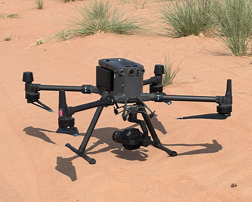
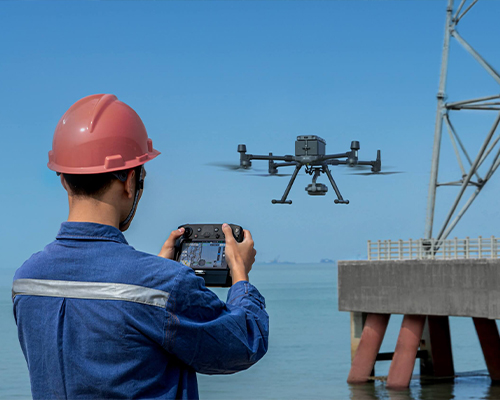
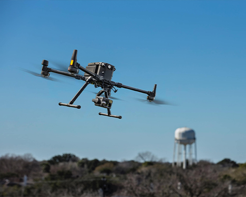
Drone-based surveying (or mapping) uses unmanned aerial vehicles (UAVs) to collect spatial data from the air. Instead of using ground crews to measure the dimensions of a particular area of the earth’s surface, drones equipped with 3D laser scanners and cameras can collect spatial data from the air. That data is used to produce a finished map or 3D model.
The deliverables created from 3D point clouds include 3D terrain maps, topographic maps, contour maps, and more.LiDAR-based drone surveying uses 3D laser scanners that capture and store 3D point clouds on the device. These consist of millions of individual points that enable a precise and accurate 3D reconstruction of the scanned area.
We arrange NOC/Permits from Authorities like General Civil Aviation/Local Civil Aviation Authority and Ministry of Defence.
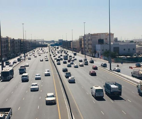
Our UAV drone mapping services provide precise aerial data for highways, roads, and urban development projects. We use advanced drones equipped with high-resolution cameras and sensors to capture accurate topographical information, which helps in:
Our UAV solutions offer detailed aerial maps and 3D models that assist engineers and planners in optimizing urban layouts and transportation networks.
We specialize in drone roof inspection surveys, providing quick and detailed aerial assessments of rooftops for commercial, industrial, and residential properties. Our drone technology helps identify potential issues such as:
This method is safer, faster, and more efficient than traditional inspection techniques, allowing you to minimize downtime and avoid costly repairs.
Our quarry and aggregate drone surveys offer accurate data on stockpiles, volumes, and material distributions in quarries and mining areas. Using UAV technology, we provide:
With our services, you can improve operational efficiency, manage resources effectively, and enhance safety protocols.
Our UAV drone technology enables precise surveying of challenging environments such as rocky terrains, lagoons, water bodies, and agricultural fields. Our drones capture high-resolution aerial images, allowing for detailed analysis of:
Our UAV surveys help in environmental assessments, agricultural planning, and sustainable resource management.
We offer construction site drone photography to document and monitor the progress of construction projects. With aerial imagery, our clients can:
Regular construction progress updates via aerial photos and 3D models give stakeholders a clear view of the project, allowing for better decision-making and transparency.
We are proud to support World Guinness Record attempts with our expert aerial mapping services. Our drones capture the vast scale of record-breaking events, providing:
From large gatherings to unique constructions, we ensure your World Guinness Record attempts are accurately mapped and documented with cutting-edge drone technology.