General Survey Services
- Topography Survey
- Stake Out Survey
- Underground Utility Detection Survey(GPR and Cable Detector)
- 3D Laser Scanning
- Mobile Mapping
- Uav Drone/Aerial Survey
- Monitoring Survey
- Control Point Survey
- Architectural/Structural /Mep Asbuilt Survey
- Hydrographic Survey
- Offshore/Onshore Survey Services
- Rebar Scanning and Concrete Imaging
- Dilapidation Survey
- Quantity And Volumetric Survey
- Traffic Survey
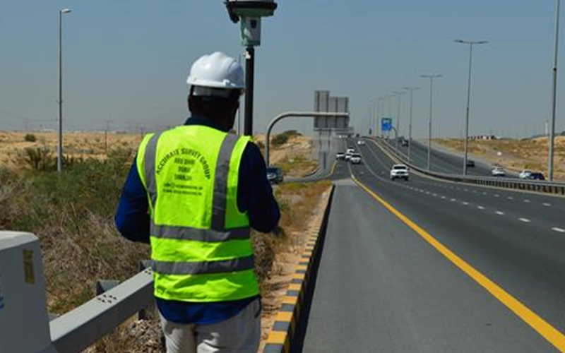
Topographic surveying is the process of determining the positions, both on plan and elevation, of the natural and artificial features of a locality for the purpose of delineating them by means of conventional signs upon a topographic map.
Locate existing municipality survey stations in the survey areas and validate their position. The survey will cover all the temporary & permanent structures and their positions, visible internal roads, ground levels, manholes, chambers, all existing visible features and services within the limit. Ground levels will be provided at the required Grid interval.
Road and Infrastructure Topography
For road construction and infrastructure development, precise mapping of the terrain is critical. Our road and infrastructure topographic surveys include:
Open Land Survey
For land development and environmental management, open land surveys are crucial. Our services include:
Digital Terrain Modelling (DTM) and Digital Survey Modelling (DSM)
We using cutting-edge technology to create detailed digital models of the landscape, including: