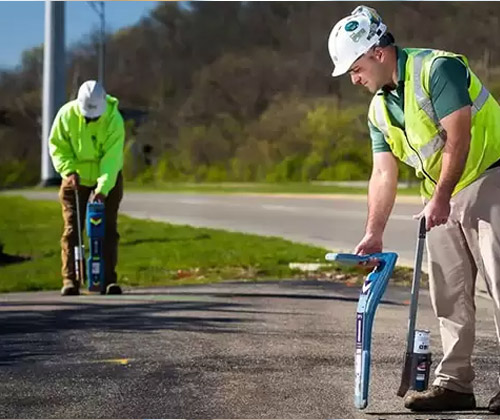
We are using one of the best technologies to locate and map underground utilities. GPRS – Ground penetrating Radar Services is a geophysical method that uses radar pulses for imaging subsurface objects.
GPRS can be used in a variety of media, including rock, soil, ice, fresh water, pavement and structures. It can detect objects, changes in material and voids and cracks.
GPRS can be used for the process of identifying and labelling public utility mainly that are underground. This may include lines for telecommunication, electricity distribution, natural gas, cable television, fibre optics, traffic lights, storms drains, water mains and waste water pipe.
In oil field and gas pipe line, national defense communication line and mass transit