
Topography Survey
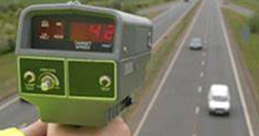
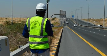
Topographic surveying is the process of determining the positions, both on plan and elevation, of the natural and artificial features...

Topography Survey
Topographic surveying is the process of determining the positions, both on plan and elevation, of the natural and artificial features...


Stake Out Survey
Stakeout surveying is setting and marking the positions of various points...

Underground Utility Detection Survey(GPR and Cable Detector)
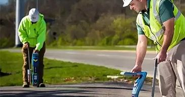
We are using one of the best technologies to locate and map underground utilities...

Underground Utility Detection Survey(GPR and Cable Detector)
We are using one of the best technologies to locate and map underground utilities...

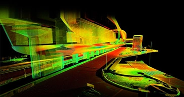
3D Laser Scanning
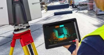
Leica ScanStation 3D laser scanners are used for capturing 3D geometry of civil infrastructure...

3D Laser Scanning
Leica ScanStation 3D laser scanners are used for capturing 3D geometry of civil infrastructure...



Uav Drone/Aerial Survey
Drone-based surveying (or mapping) uses unmanned aerial vehicles (UAVs) ...


Monitoring Survey
A monitoring survey is an action taken to see if or how far a building or structure has moved over...

Monitoring Survey
A monitoring survey is an action taken to see if or how far a building or structure has moved over...
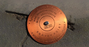

Control Point Survey
A surveying control point is a mark or monument that has an established...
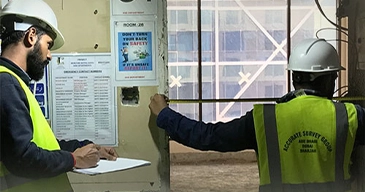

Architectural/Structural /Mep Asbuilt Survey
The asbuilt drawings are prepared as per the actual site conditions of buildings in which all the architectural and MEP...

Architectural/Structural /Mep Asbuilt Survey
The asbuilt drawings are prepared as per the actual site conditions of buildings in which all the architectural and MEP...


Hydrographic Survey
Bathymetric surveys allow us to measure the depth of a water body as well as map ...

Hydrographic Survey
Bathymetric surveys allow us to measure the depth of a water body as well as map ...
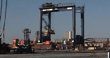

Offshore/Onshore Survey Services
We are Authorized in Abudhabi oil field onshore and offshore to carry out services...

Offshore/Onshore Survey Services
We are Authorized in Abudhabi oil field onshore and offshore to carry out services...
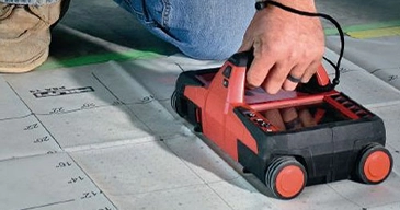

Rebar Scanning and Concrete Imaging
A rebar scanner is a non-destructive tool such as ground penetrating radar (GPR) that uses radio signals ...

Rebar Scanning and Concrete Imaging
A rebar scanner is a non-destructive tool such as ground penetrating radar (GPR) that uses radio signals ...
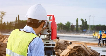

Dilapidation Survey
Our dilapidation surveys document the pre-existing condition of structures ...
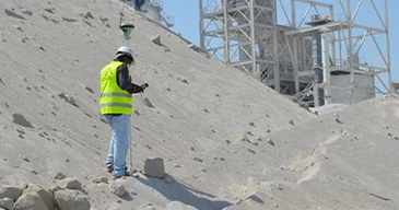

Quantity And Volumetric Survey
We specialize in delivering precise and reliable quantity and volumetric survey services...

Quantity And Volumetric Survey
We specialize in delivering precise and reliable quantity and volumetric survey services...
